Discover the power of Trackpac's asset tracking platform today. Effortlessly monitor and manage your valuable assets in real-time, and get instant alerts when something changes. Improve security, efficiency, and productivity of your business with GPS asset tracking.
Trackpac supports a range of battery powered GPS IoT asset trackers, perfect for monitoring the location of your assets.
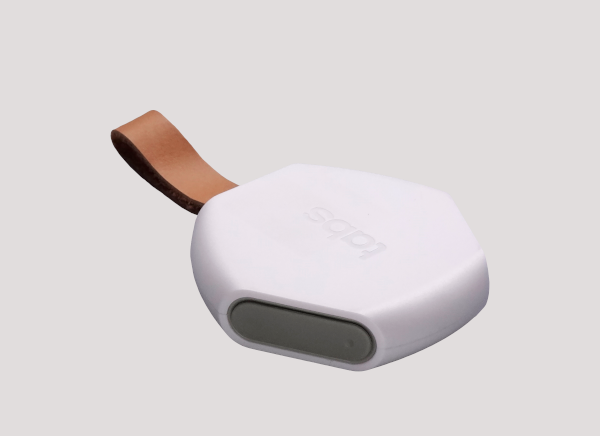
Small, portable tracker in a key fob form factor. It's a great choice for keeping track of smaller items over short periods of time.
Find Out More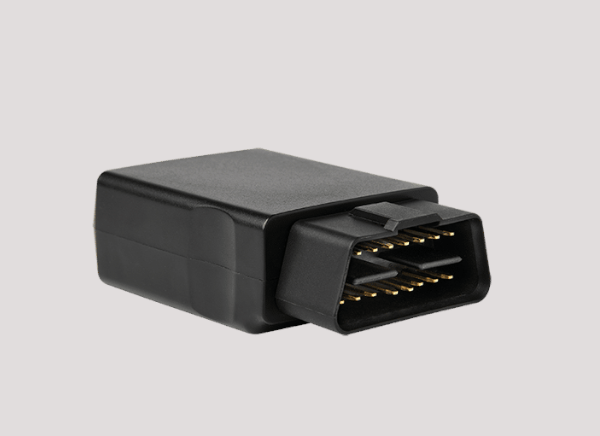
A Compact LTE-M GPS tracker for vehicle tracking and driver behavior monitoring powered by the ODBII port of your vehicle
Find Out More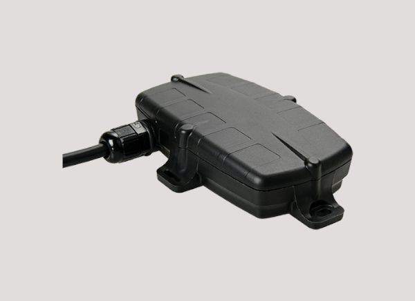
A Hard wired GPS tracker for vehicle tracking and fleet management powered by LoRaWAN with GPS, ignition status and run time
Find Out More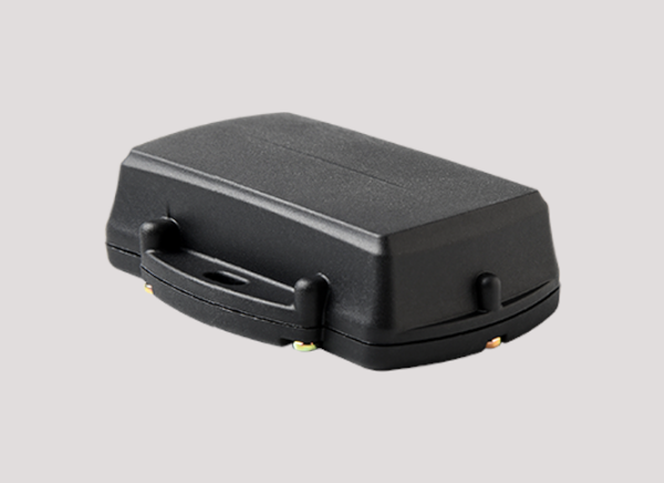
Ultra-rugged IP68 GPS asset tracker with 10+ year battery life, designed for harsh environments and long-term deployments
Find Out More
A LoRaWAN GPS tracker for personal safety and asset management with SOS button in a badge form factor with lanyard
Find Out More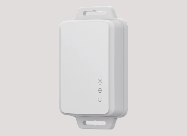
A LoRaWAN GPS tracker for asset tracking and indoor/outdoor use. GPS, Wifi and BLE positioing and battery powered.
Find Out MoreSmall, lightweight LoRaWAN sticker sensor for temperature monitoring and approximate location tracking with up to 1 year battery life
Find Out More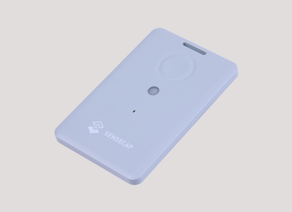
Compact LoRaWAN GPS tracker with WiFi and BLE positioning for indoor and outdoor asset tracking with temperature, light, and SOS features
Find Out MorePer sensor pricing with no hidden costs. Volume discounts available for enterprise deployments.
Trusted by innovative companies across the UK & Europe
Trackpac's GPS asset tracking platform provides you with a comprehensive solution to monitor and manage your assets in real-time. Our immersive maps, detailed location data, and real-time updates ensure that you have complete visibility over your assets' movements and status.
Setup geofences around your assets and receive instant alerts when they move. Customise alerts, when they are sent and who to and how they are sent. Trackpac's GPS asset tracking platform gives you the power to monitor and manage your assets with ease.
Trackpac's GPS asset tracking solution leverages industry-leading mapping services from Mapbox to provide detailed maps, Buildings, route matching and more.
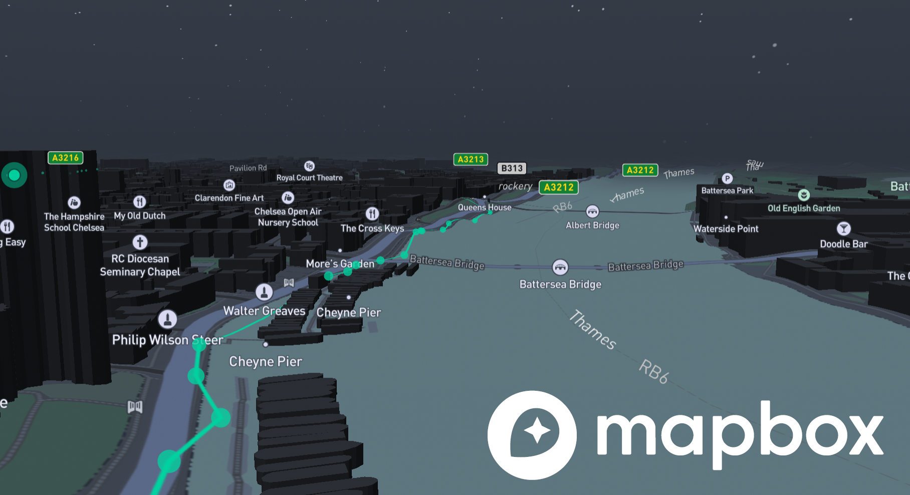
Trackpac's GPS asset tracking platform offers route matching capabilities, allowing you to improve GPS results by matching checkins to known roads and paths leading to a cleaner, more accurate view of your assets' movements. This helps you better understand your assets' routes and activities, enabling you to make informed decisions and optimize your operations.
Trackpac's platform supports a range of sensors that also support Temperature, Light & shock as well as GPS location tracking. This allows you to monitor the environment your assets are in as well as their location. Empower your business with Trackpac's comprehensive asset tracking solution to monitor and manage your assets as well as the environment they are in.
FAQ
Everything you need to know about Trackpac's IoT sensor management platform
GPS asset tracking involves using GPS technology to monitor and manage the location and status of assets such as vehicles, equipment, or inventory in real-time.
GPS asset tracking systems typically consist of GPS devices installed on assets, which communicate their location data to a central software platform. Users can then access this data via web or mobile applications to monitor and manage their assets.
GPS asset tracking offers numerous benefits, including improved asset visibility, increased security, enhanced operational efficiency, reduced theft and loss, and better resource allocation.
GPS tracking can be used to monitor various types of assets, including vehicles, trailers, equipment, containers, high-value goods, and even personnel.
GPS asset tracking systems typically provide high levels of accuracy, with most modern systems offering location updates within a few meters. However, factors such as signal strength, environmental conditions, and device quality can affect accuracy.
GPS asset tracking can benefit a wide range of industries and businesses, including logistics, transportation, construction, agriculture, manufacturing, and more. It's particularly valuable for businesses with mobile or valuable assets that need to be monitored and managed efficiently.
When choosing a GPS asset tracking system, consider features such as real-time tracking, geofencing, customizable alerts, historical data analysis, integration options, and ease of use.
GPS asset tracking enables businesses to monitor the location of their assets in real-time, receive instant alerts for unauthorized movements or tampering, and quickly recover stolen assets with precise location data.
The cost of GPS asset tracking systems can vary depending on factors such as the number of assets to be tracked, the features and capabilities of the system, subscription plans, and any additional hardware or installation costs.
Yes, GPS asset tracking can assist businesses in complying with regulations related to asset management, security, safety, and environmental monitoring by providing accurate data and audit trails.
Trackpac's platform provides real-time tracking data, with location updates typically occurring at regular intervals (e.g., every few seconds or minutes). This ensures that users have up-to-date information about the whereabouts of their assets, allowing for timely decision-making and response to changes in asset status.
Trackpac leverages a leading mapping provider to display location data within its platform. By utilizing industry-standard mapping services, Trackpac ensures accurate and reliable mapping features, including detailed maps, satellite imagery, and routing capabilities, enhancing the user experience and usability of the platform.
Still have questions?
Contact our support teamGet instant push notifications, view real-time data, and manage all your sensors from our powerful mobile app.
